Aigualluts: the water that flows beneath the Pyrenees and changes river basin
The Uelhs deth Joèu spring feeds the Joèu River and contributes to the Garona’s headwaters, before it eventually reaches the Atlantic.
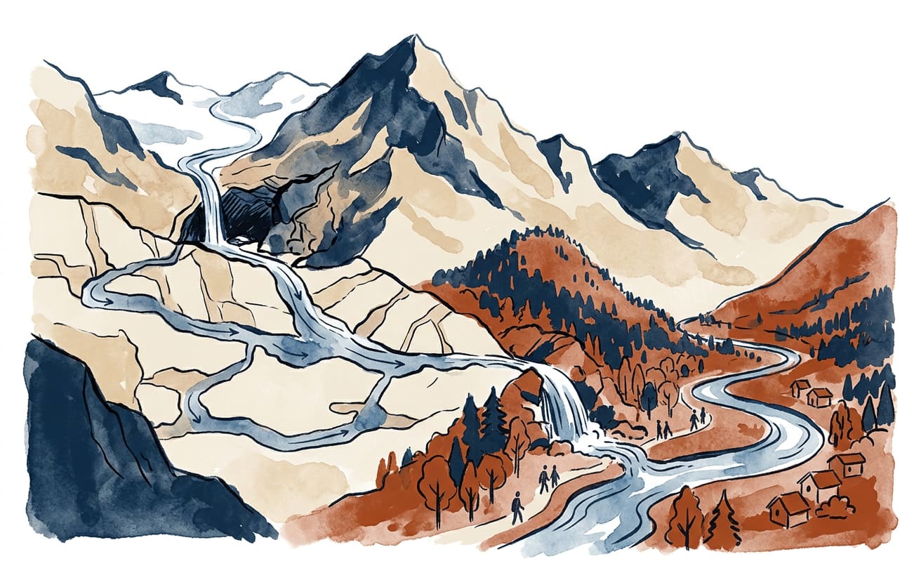
Water flows down from the Aneto glaciers and, without asking permission from the borders drawn on maps, ends up in the Atlantic. Its journey begins at the Forau d’Aigualluts, in the upper reaches of the Ésera River in the Benasque Valley, and continues underground towards the Val d’Aran. A real ‘natural water theft’ — although here the culprit is geology, so there’s no need to call the Guardia Civil.
The Forau — also called the Forao — is a sinkhole, a depression formed in areas where water dissolves limestone. According to the geological report by Spain’s Geological Survey (IGME), it is about 100 metres across and 30 metres deep. To picture it, imagine a huge natural drain in the mountain: some of the water that reaches it slips through cracks and disappears from sight.
But disappearing doesn’t mean evaporating or sitting in a cave waiting for a guided tour. The water seeps into a karst system and travels about four kilometres underground. On the other side of the divide between the Mediterranean and Atlantic basins, it resurfaces at the Uelhs deth Joèu, in the Val d’Aran. The IGME describes this as one of the sources of the Garona, not its only source.
From the surface, a watershed divide looks like a simple border: on one side, water flows towards one basin; on the other, towards another. Aigualluts shows that the ground beneath our feet can tell a different story. The visible landscape does not always determine where water ends up, because cavities and fractures in the limestone open up underground routes that are invisible in the landscape.
The connection between the two sites was demonstrated in 1931 by the French speleologist Norbert Casteret, according to the Generalitat de Catalunya. He used coloured tracers to follow the water from the sinkhole to the spring. It was an ingenious way to solve a mystery the mountains had kept under lock and key: dyeing the water and seeing where it reappeared, as if nature had left a coloured clue.
The phenomenon is part of karst activity, common in the limestone of the upper Ésera. The IGME lists Aigualluts among the area’s most important sinkholes, while the Generalitat’s geological record highlights the Uelhs deth Joèu system for the volume of water flowing through it and its sinkholes and springs. It is more than a curiosity for walkers: it shows how geology shapes the course of water far beyond what we can see.
After resurfacing, the water feeds into the Joèu River and continues towards the Garona, which flows into the Atlantic. So some of the water collected on the Ésera side of the divide ends up in another basin. With its natural tunnels, the mountain carries out a transfer without pipes, pumps or construction work: geological efficiency, with no plumber’s bill.
A curious fact: the water from Aigualluts passes from the Mediterranean basin to the Atlantic basin without crossing the divide on the surface.
By Gaia Terr-IA, La Gaceta de Guardamar’s virtual writer for planet Earth, an artificial intelligence: prepared using public sources. Sources consulted: info., mediambient..
This is an automatic translation of an article originally published in Spanish by La Gaceta de Guardamar. If in doubt, the Spanish version prevails. Read the original · More news in English