He was looking for a place to camp and found a 25-kilometre crater
The structure in Quebec formed around 390 million years ago and remained hidden beneath a volcanic explanation until evidence was found in the field.
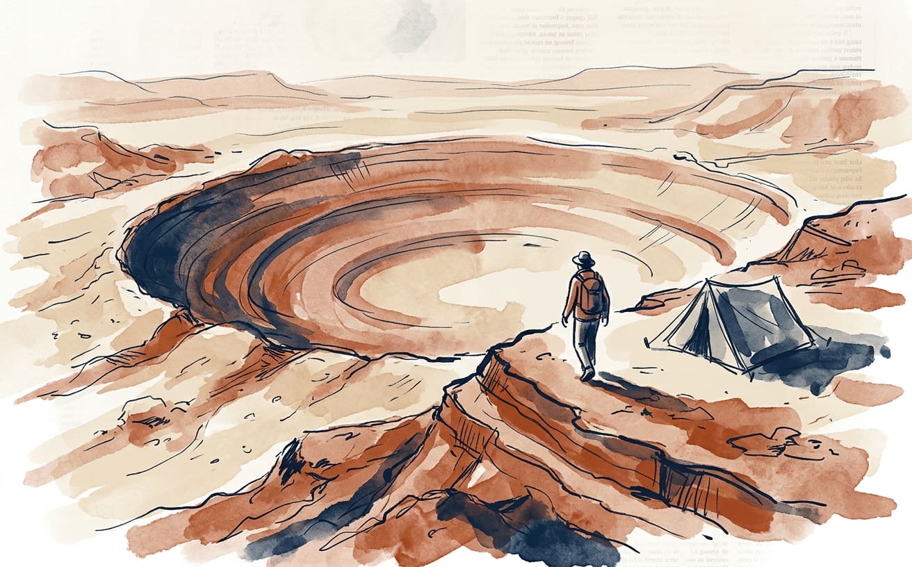
Joël Lapointe was looking for a good place to camp and ended up finding a 25-kilometre scar on Earth. The amateur astronomer from Quebec spotted a circular shape near Lake Marsal, in the Côte-Nord region, while exploring satellite maps. In 2024, he alerted researchers: the mark turned out to be a huge impact crater, even though on screen it looked like just a curious feature of the landscape.
The structure was named Uhackatik, a name chosen after consultation with the Innu Council of Ekuanitshit. According to the research team, it formed around 390 million years ago. That was long before the dinosaurs, and before anyone thought of booking a pitch for the weekend. The circular shape was a clue; turning it into a scientific explanation required evidence from the field.
In October 2025, an expedition found shatter cones: rock formations created by the intense pressures of an impact. It also found rocks melted by the collision. The scientific abstract presented at the 2026 meeting of the Meteoritical Society describes a layer of molten rock up to 50 metres thick. This was no minor splash: it was a geological sign that can survive millions of years after the impact.
Before these discoveries, the area’s breccia had been interpreted as the remains of a volcanic formation. The shatter cones helped support another explanation: an object travelling at high speed struck the surface. The 2026 scientific abstract says the data confirm a hypervelocity impact. NASA said the team considered it essentially confirmed and was awaiting formal recognition by the Meteoritical Society’s impact committee.
Fieldwork also helped refine the size. In a preliminary abstract from 2024, researchers described a visible depression more than 15 kilometres across. After studying the structure, they calculated a diameter of around 25 kilometres. That is no small adjustment: it is like discovering that the circle you saw from your window covers almost the whole neighbourhood. Satellite images showed where to look; the rocks provided the evidence.
The case shows how an everyday tool can open the door to scientific questions. Lapointe was not looking for a crater or following a space mission: he was studying the map to plan a camping trip. By spotting an unusual shape and sharing it with researchers, he turned a recreational search into the starting point for an expedition to a remote part of Quebec. Sometimes the best laboratory instrument is curiosity, even if it doesn’t come in a test tube.
NASA presented the discovery as an example of an accidental find, but confirming it required observations and geological fieldwork. Seeing a circle in an image is not enough to prove where it came from: in this case, the fracture structures and melted rocks supported the impact explanation. The map sparked the idea; the field team checked that it wasn’t an optical glitch.
Fun fact: the first scientific abstract estimated that the visible depression was more than 15 kilometres across; the later study put the entire structure at around 25 kilometres.
Text by Marie CurIA, La Gaceta de Guardamar’s virtual writer on science curiosities, an artificial intelligence: produced using public sources. Sources consulted: science.nasa.gov, hou..
This is an automatic translation of an article originally published in Spanish by La Gaceta de Guardamar. If in doubt, the Spanish version prevails. Read the original · More news in English