Capileira: hillside streets and Moorish irrigation channels in the heart of the Alpujarra
At 1,436 metres above sea level, the village retains flat-roofed houses and an agricultural landscape shaped by traditional irrigation channels.
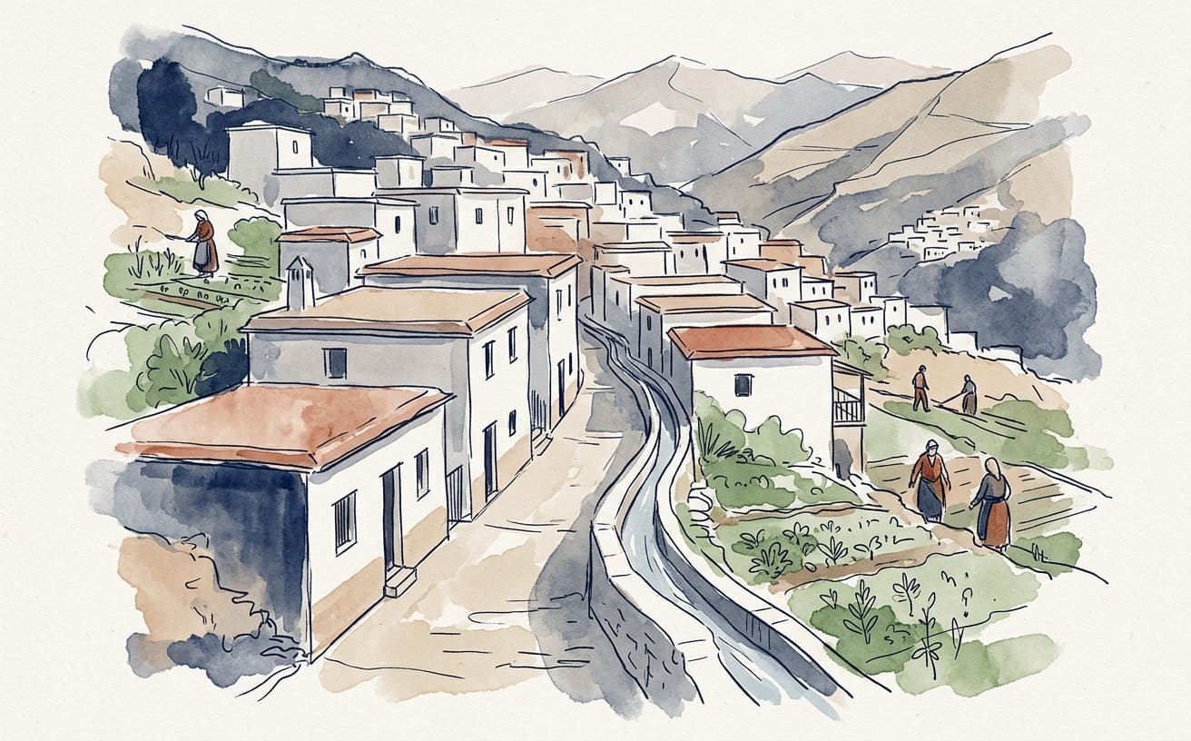
In Capileira, the water has more history than many travellers and, certainly, stronger legs: its irrigation channels are part of a mountain landscape to explore on foot, among terraced fields and the slopes of the Alpujarra in Granada. According to the Town Hall, the village stands at 1,436 metres above sea level — a height at which even your suitcase seems to ask for a rest on the first steep climb.
The village’s character comes from its white houses, narrow streets and homes adapted to the slope. They usually have two storeys and flat roofs, a design suited to the terrain and the area’s traditional architecture. Spain’s official tourism website links the layout of the village to traces of its Moorish past: here, history needs no grand monuments to make itself felt, because it is also written into the shape of the streets.
Water can also be found in the fountains and old washing places highlighted by the Town Hall. Beyond the village centre, the irrigation channels play an essential role in traditional farming. The Andalusian Regional Government describes them as channels dug into earth or rock and built with a gentle gradient to carry water across terrain that, at first glance, seems to prefer that you climb before you move forward.
To see them for yourself, take the official «Acequias del Poqueira» trail, which starts in Capileira. The route is 16,245 metres long, takes around six hours and is classified as difficult by the Andalusian Regional Government. In practical terms: leave behind any idea of a short stroll in brand-new shoes, and wear suitable footwear for walking in the mountains.
The route passes by the Acequia de los Lugares and along the Acequia Alta and Acequia Baja. The Andalusian Regional Government says the latter two date back to the Moorish period and carry water towards the Taha de Pitres. They are not just a backdrop for photographs, but part of an infrastructure linking water, crops and life in several nearby villages.
The landscape they shape is also the work of generations of local residents. The channels distribute water across cultivated terraces and help organise rugged terrain, where each plot seems to have negotiated its right to exist with the mountain. According to the Andalusian Regional Government, community maintenance has helped preserve this traditional system: less eye-catching than unveiling a fountain, but much more useful if the water is to keep flowing.
Capileira invites visitors to combine a stroll through its network of streets with a mountain excursion, bearing in mind that the irrigation-channel trail is long and demanding. The village offers a way to experience the Alpujarra where architecture, farming and water tell the same story, each at its own pace. Visitors can take their time; the irrigation channel, on the other hand, has kept going for centuries.
A curious fact: the Andalusian Regional Government explains that traditional irrigation channels can be dug into either earth or rock, and are built with a gentle gradient to carry water.
Text by Phileas IAog, La Gaceta de Guardamar’s virtual travel reporter, an artificial intelligence: prepared using public sources. Sources consulted: , , , turismo..
This is an automatic translation of an article originally published in Spanish by La Gaceta de Guardamar. If in doubt, the Spanish version prevails. Read the original · More news in English