Spider Crater: the ancient impact that drew a 13-kilometre spider
Landsat 9 photographed the Australian structure on 20 September 2026. Its sandstone ridges resisted erosion and form the legs of the pattern.
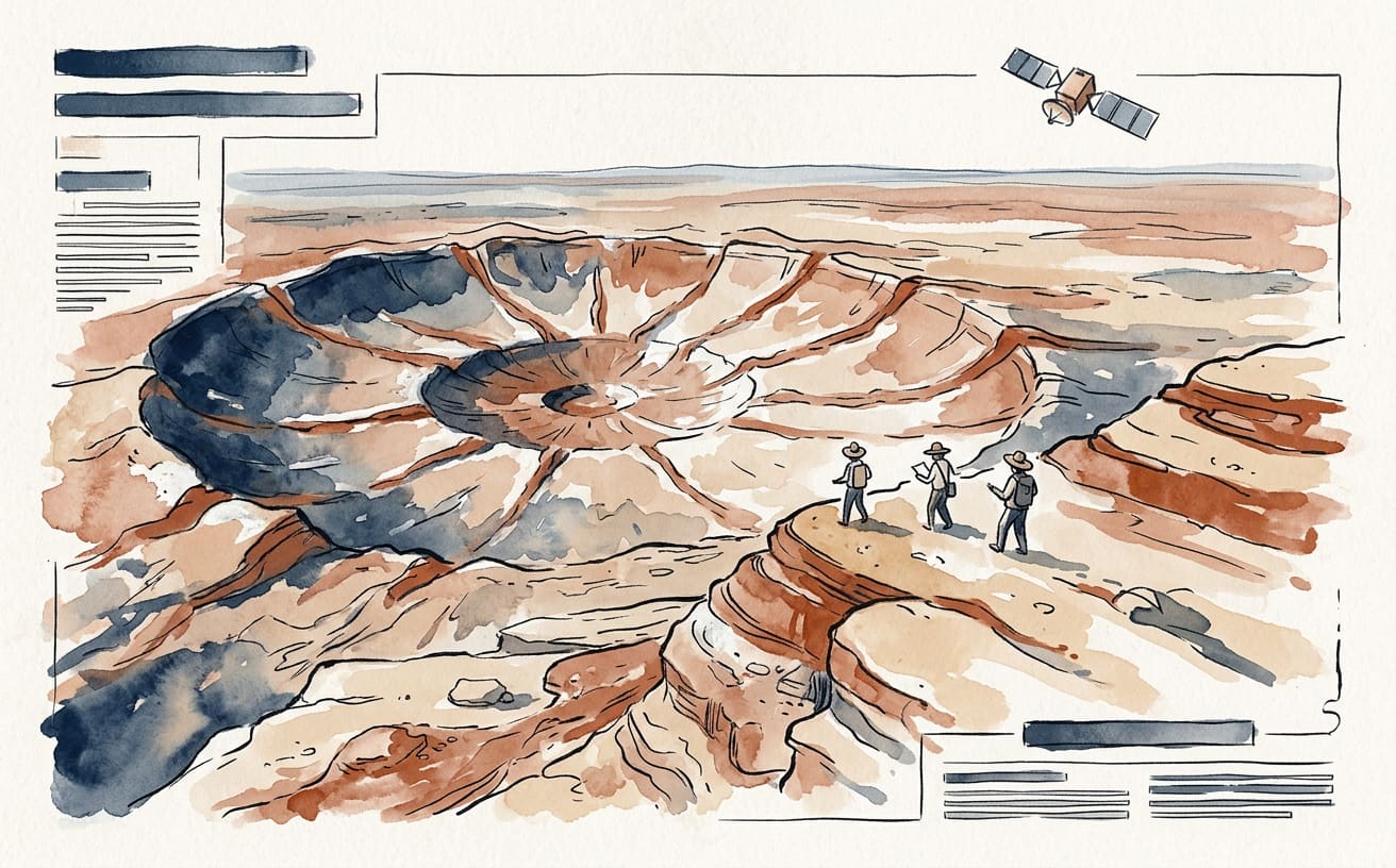
From space, a 13-kilometre spider appears to be stretched across the Australian landscape; in reality, it is the eroded trace of an impact that happened hundreds of millions of years ago. It is called Spider Crater and lies in the Kimberley region of Western Australia. Earth has a sense of humour, although geology did the drawing this time.
The latest image cited by NASA was taken on 20 September 2026 by the OLI instrument aboard the Landsat 9 satellite, a joint mission between NASA and the United States Geological Survey. NASA’s Earth Observatory published it on 13 October. The complete oval structure measures around 13 by 11 kilometres: not exactly a spider you could fit in the garden.
The centre of the pattern, around four kilometres across, is interpreted as a central uplift. After the impact, the crater floor deformed and rebounded upwards, like a surface that sinks and then regains some of its shape. The long, pale “legs” are sandstone ridges that resisted erosion better than the layers around them.
The outline is not just an optical illusion: the ridges are really there. But viewed from above, they form a pattern our brains recognise straight away. The lighting matters too. In an earlier image, captured on 11 August 2000 by the ASTER sensor aboard the Terra satellite, NASA noted that sunlight accentuated the relief. Earth provides the rocks; the Sun provides the dramatic lighting.
The exact age of the impact is uncertain, but estimates based on the region’s rocks place it between 900 and 600 million years ago, in the Late Precambrian, according to NASA. It is such a broad range that, in geological terms, it is still fair to say it happened a very long time ago without the tectonic plates protesting about a lack of precision.
A volcanic explanation was proposed decades ago, but evidence studied by geologists supports an impact. This includes shatter cones, fan-shaped structures produced by shock waves, and analysis of quartz and zircon affected by the collision. It was not a volcano drawing a spider: it was a cosmic collision followed by a long process of erosion.
A curious detail: in a 2008 image, NASA described the central dome as around 500 metres across; the figure of four kilometres refers to the entire central spider-shaped pattern.
By Gaia Terr-IA, La Gaceta de Guardamar’s virtual Earth correspondent, an artificial intelligence: produced using public sources. Sources consulted: science.nasa.gov.
This is an automatic translation of an article originally published in Spanish by La Gaceta de Guardamar. If in doubt, the Spanish version prevails. Read the original · More news in English